
The last 4 days of my trip have been spent in western Kentucky in an area called the Land Between the Lakes (note: this colored text is a Link, click on it to take you to the mentioned website). This area is a peninsula between Lake Barkley, formed from the damming of the Cumberland River, and Kentucky Lake, formed from the damming of the Tennessee River. My decision to camp here was based on an article I read describing the North/South Trail which is a 31 mile stretch of single track running from the Golden Pond Visitor Center in the middle of the National Recreation area to the North Welcome Center on, you guessed it, the north end. The trail in the article was described as smooth, flowing and buffed out trail for its entire 31 mile length. That description was not quite accurate. We'll discuss that further in the pictures below.
The following shots were taken upon arriving at the Land Between the Lakes on Saturday Oct. 15th. I quickly set up my tent at the Hillman Ferry Campground and took the 3.5 mile North/South Trail north out of the campground to link up with Canal Trail. The first picture is of Kentucky Lake looking north. The following two pictures are of Lake Barkley.


The Canal Trail is an 11 mile loop around the far north end of the peninsula. The west side of the trail goes up and down bluffs along the lake before turning at the canal pictured below. From this point the trail becomes much more mellow and flowing through the woods.

Canal Trail riding the bluffs above Kentucky Lake.
Canal at the north end of the peninsula from which the Canal loop gets it name.

A few obstacles to keep things interesting on the Canal Loop.


The above two pictures are typical of the Lake Barkley side of the trail; smooth, fast and flowing through the woods.
Sunday was warm, mid 80's in western Kentucky, and my plan for the day was ambitious. I drove from my campsite at Hillman Ferry south to the Golden Pond Visitor Center with my mountain bike in tow. From the Visitor Center I would ride 28 miles back to my campsite on the single track North/South Trail, eat lunch and rest for a bit at my camp site, and then switch to my touring bike to ride 18 miles on the road back to my truck at the visitor center.
Now for folk who aren't cyclists a mile on a mountain bike is much different than a mile on a road bike, and a mile of climbing or up/down riding is different from descending or riding flats. Yes it takes more energy to climb on a road, but it also take more energy to complete your average mountain bike mile compared to your average road mile. Yes, I'll admit to a bit of hubris here. This is "flat" land, I'm used to riding my mountain bike up and down mountains in the southern Appalachians. This 28 mile jaunt should be no problem, right?
Well the first hint I had that things weren't going to go quite as I planned was the fact that the Visitor Center closed at 5 pm and they would be locking the gates. I was leaving the parking lot to start the ride around 9:45, so my time was a bit more compressed than I would've liked. No problem, I just won't rest as long after lunch. So hitting the trail I my mountain man bias was initially confirmed as the North/South trail rolled along a dry stream bed for about 2.5 miles fairly flat and smooth. After this, however, the real fun and pain began.

The first couple of miles of the North/South Trail follows this dry seasonal stream bed along a relatively flat grade.

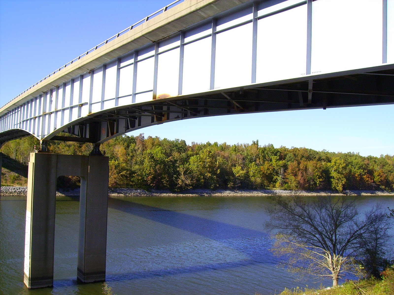
A lot of new, expensive, bridge work has been done on this trail thanks the American Recovery and Reinvestment Act. I would personally like to thank each and everyone one of you for your tax contributions which has made these huge out of place bridges out in the middle of now where possible.


After those initial two miles the trail began to steeply ascend and then descend the hills and hollows, and by steeply I mean 80-100' up the side of a hill and then down the other side. Every once in a while you would get a reprieve for a half mile or so as the trail paralleled Lake Kentucky or would shoot through a river bottom hardwood forest.


While it may not seem like much compared to the 1,000 to 2,000 foot climbs I'm used to the cumulative nature of these mini-hills began to take their toll on my legs, further complicated by the fact that these trails did not switch back up the sides of the hills. Instead they went straight up and down, where highly eroded, and the trail bed often changed to small loose gravel which conspired to further increase the effort and energy needed to climb. Balance, power, endurance, mental concentration and a touch of luck all go into clearing a tough technical climb.
The constant nature of these multiple climbs had taken their toll on my body by the time I made it back to the camp site. In total it took about 3 1/2 hours to ride the 28 miles back to the campground. I was spent. I fixed my lunch and reclined back and rested for about an hour. When I stood back up my legs felt like lead, but I had no other option than to climb on my touring bike for the 18 mile ride back to truck (well I could've went and picked up my truck the next day, but I'm stubborn). Here is where the agony began. The road back, while not as steep in grade, was just as hilly and I had the further benefit of a headwind the entire way. It took me about an hour and a half to ride those 18 miles back to my truck, and finishing about 4:30. Loaded my bike on the truck and headed back to the campground, fixed dinner, and settled in by the campfire to rest.
That would've been the end of my evening, but as I settled into bed I heard some crunching in the leaves close by. I assumed it was the deer I had seen the night before and earlier in the evening, rolled over in my sleeping bag thinking nothing of it. The crunching sound of leaves kept coming closer to my tent, causing me to get up, peer outside, and startle the skunk who was sniffing around not 7' from where I was sleeping. Needless to say we were both nervous, skunk with tail high in the air and myself using my calmest and smoothest voice, which I normally save for the ladies, to calm him down. After a tense stand off that seemed to stretch on for eternity said skunk returned his tail into the downward position and ambled off back into the woods.
Monday the 17th I spent recovering from the previous days ride by reading and doing a light 5 mile ride around the campground to work the stiffness out of my legs. Around 7:30 that night as I was sitting down to relax by the campfire and read a bit more of my novel who should appear once again peeping around the oak tree on my tent pad? Mrs. Skunk (I'm assuming its a she as she must of liked my sweet talking of the night before). She looked at me, and I her, till she turned around ambled off my tent pad and proceeded to spend the next 30 minutes walking around the area eating bugs before strolling back into the woods again. How she'll fare tonight in the cold and the rain I don't know, as I'm typing this from a hotel room to stay out of the elements, but I hope she's not too disappointed that I'm not there to strike up a conversation.
In closing here are a few pictures I took on this rainy day of the confluence of the Ohio and Mississippi Rivers just south of Cairo, Illinois. I can now say that I've been there and never need to go back. The state park is weedy and overgrown, and Cairo is the picture of a rotting midwest town who's heyday is long in the past.


The mighty Mississippi with the far bank being Missouri.

Coal barges on the Ohio and the far bank is Kentucky.
No comments:
Post a Comment