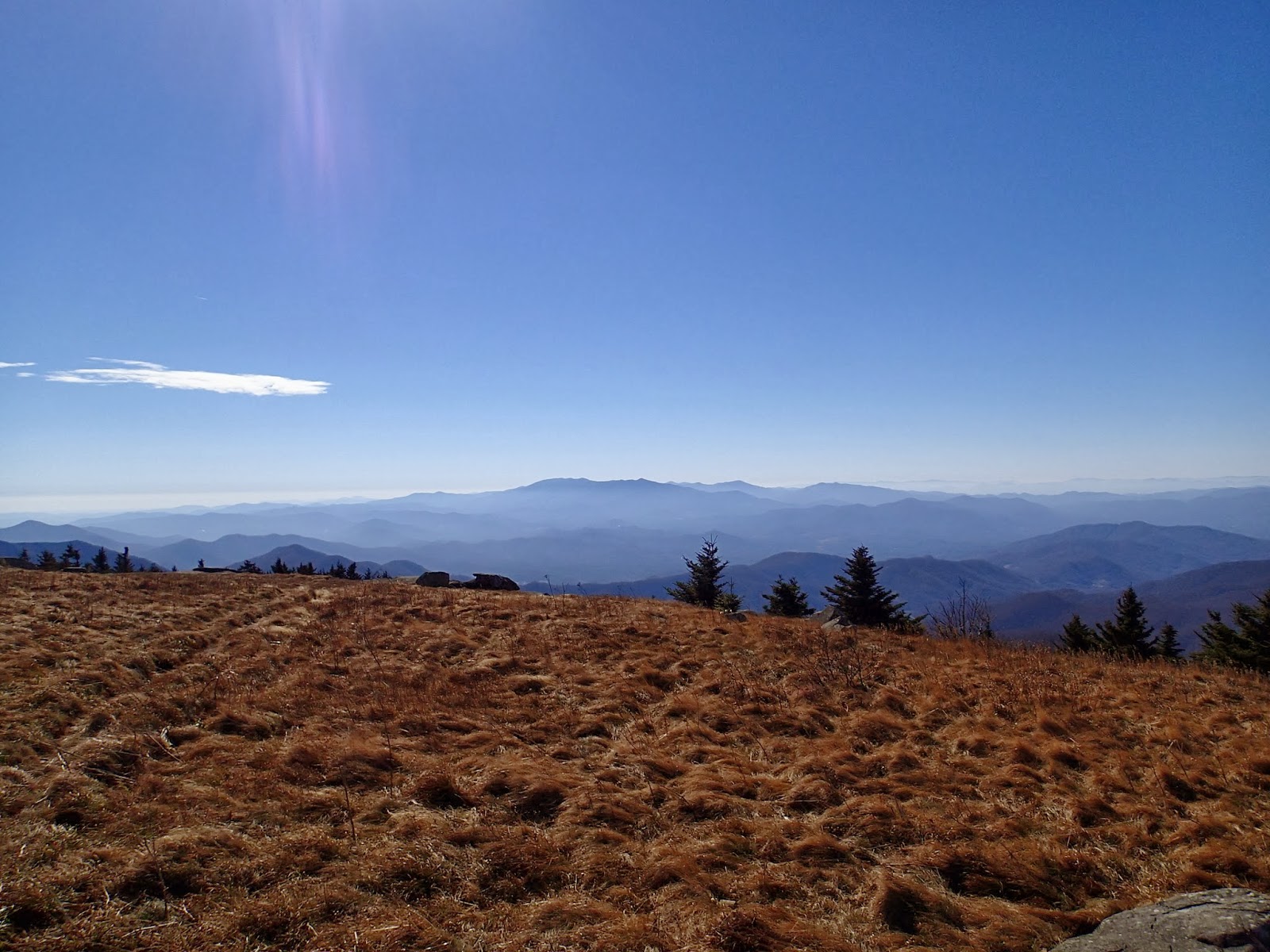
Panorama of Catalooche from the overlook above the valley. Mount Sterling is to the far right and there is an excellent out and back hike to the peak from the gravel road that leads to Big Creek and Cosby, TN.
The only views from today. Caldwell Fork and Boogerman trail are all about being immersed in the forest. Sadly the beauty of Caldwell Fork has been greatly reduced due to the blight of the hemlock woolly adelgid. More on that below.
First surprise of the day. You can't read it from the picture, but the bottom notice informs trail users that 3 bridges on Caldwell Fork have been washed away. I was wondering why there were no other cars in the parking area today as this is a popular trail in what is now a very popular section of the Smokies.
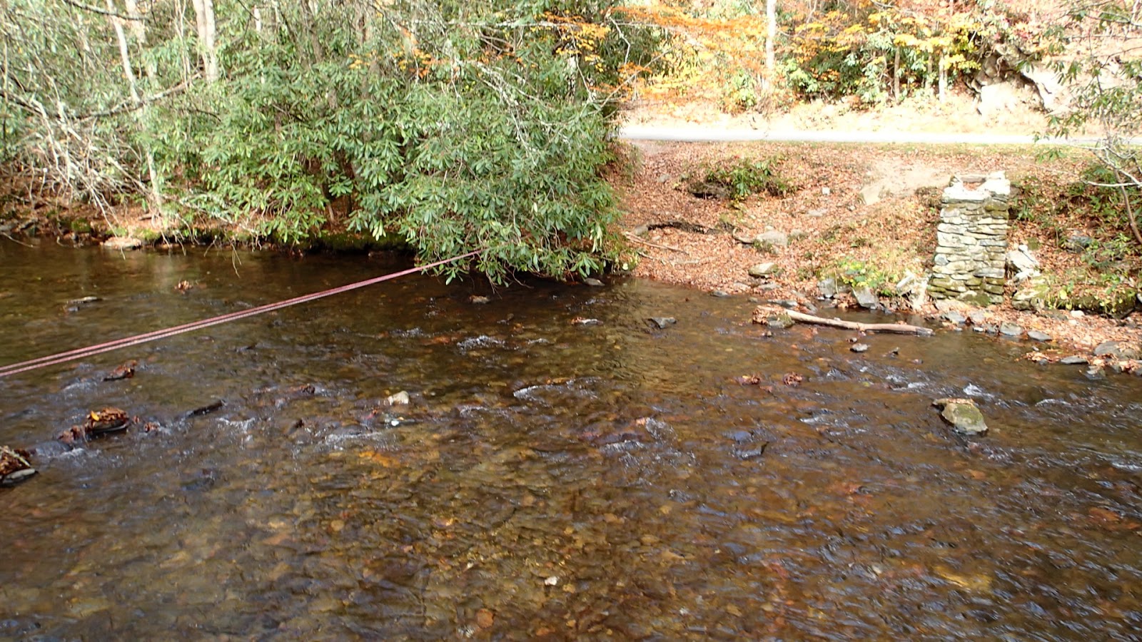
The first and longest river crossing. One of the longest log bridges in the Park used to span this section of the river.
The second creek crossing, narrower, but a bit deeper.
Third and final wet foot cross, although I had to go back through the first two on my way out. Passed the only people I saw all day, three horse back riders, at this horse ford.
Much of the beauty of Caldwell Fork is marred by all the dead hemlocks. This section of trail is not worth hiking anymore due to all the dead trees, and poor trail condition due to horse use.
I have a picture of myself hugging this hemlock that was taken about 8 years ago when I was in PT school. You don't get a sense of scale regarding the circumference from this picture, but it would take about 4 adults reaching around to fully encircle this tree at the base.
This is what the tree looks like now.
The trail skirts the rocks to the right.
There are, or were, a total of 6 foot bridges along the Caldwell Fork.
Turning off Caldwell Fork onto the Boogerman.
This area of the Park was settled up through the '30's. This section of the trail passes by an old farmstead with remnants of old building foundations and dry stone walls still evident.
Above the farm and especially once you cross the ridge you begin to see large poplar's such as this one. The base has been burnt out and you cant stand comfortably inside if you so desire.
These pictures don't do this section of forest justice. Large poplars rising straight up to a crystal blue sky with lots of yellow leaves still on the trees. A bit like walking in Lothlorien; if you'll allow me to indulge my inner nerd for a bit. Sorry my photography is so bad, but this was a "you had to be there" moment.
Split poplar with very large trunk at the base.
More beautiful forest. Traces of orange and reds interspersed with mostly yellow.
Last three pictures are of the largest poplar that can be viewed from the trail. You would probably need 5-6 people to reach around the trunk at its base.